Winter Storm Warning in Effect For Eastern WA Until 10 p.m.
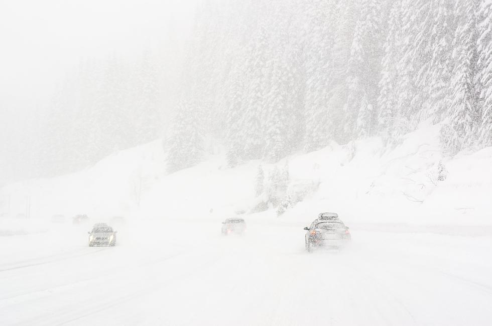
Another big storm is headed our way and a Winter Storm Warning is in effect through 10 p.m. tonight. The good news is Tri-Cities will see the least of this powerful storm!
From KNDU:
A very strong Pacific front will track through the region today bringing us a mix of winter weather (see above warnings). While accumulating snow is possible for the Yakima/Kittitas Valleys, I'm looking for just rain and wind today in the Columbia Basin and Foothills today. Morning temps in the 20s and 30s with afternoon highs in the 30s and 40s. A very active jet stream will send a series of weather systems through the Northwest this week. The next one arriving Tuesday night/Wednesday morning with light snow and a rain/snow mix. We could also be looking at scattered snow showers Christmas Eve and a couple of flurries on Christmas day. Dry, but cold this weekend. Monty Webb, Meteorologist
East Slopes - 6 to 12"
Blues - 5 to 12"
Kittitas Valley - 3 to 6"
Yakima Valley - 1 to 3" (3-6" above 1,000 ft)
High Wind Warning… Today 10am-10pm
Columbia Basin-Foothills
- SW 30-40 Gusts 60mph
- Down Trees, Power Lines
- Spotty Power Outages
More From 98.3 KEYW