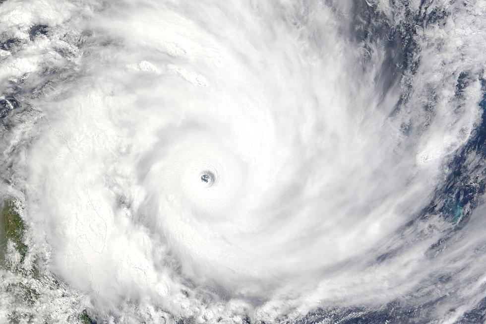
Will the Remnants of Hurricane Hilary Impact Washington State?
California has seen near record amounts of rain from the now tropical rains storm, which is just over 200 miles from Pasco, WA.
One person was killed in Mexico, as the then hurricane passed through Baja California, weakening in to a tropical depression as it moved into Southern California, and now moves into Nevada as a tropical rain storm. Meteorologists speculate that some areas of Nevada could receive as much as two years worth of precipitation during the event. This is the first such storm to move through those regions since 1939.
The storm is expected to continue in a north-northwest direction as it continues to weaken.
That being said, what are the potential impacts on the Northwest from this storm? Well, for Washington, it will be quite minimal.
According to Accuweather.com, we here in Southeastern Washington State will see less than a quarter inch. However, our neighbors to the Southeast and East will see a bit more of a significant impact.
For the Boise, ID area, estimates range from 1-2 inches of rainfall from the storm as it makes its way through that area sometime early Tuesday. An areal flooding alert remains active until Monday night, but that could be modified depending on how swiftly (or slowly) the storm makes its way through Nevada.
The slightest of slight chances exists in the edge of the storm making its way into Southeastern Washington, but rain total estimates are quite small, no matter where in Washington State it hits.
The storm is then expected to move to the East and make its way though Montana. Helena, Montana is in the currently expected path of the tropical rain storm after that, with rain totals of .5 to 1 inch come later Tuesday.
Bottom line, though we desperately need more precipitation in our area, Hilary will not deliver the goods.
11 Guilt-Free Reasons Parents Can Celebrate Back-to-School Season
Gallery Credit: Ryan Antoinette Valenzuela


