Serious Snow to Fall in the PNW-Hazardous Travel Expected
Mother Nature is packing a serious punch for the Pacific Northwest mountains this weekend. A Winter Weather Advisory is in effect for up to 8" of snow in the Northern Blue mountains of Washington and Oregon. The advisory is in effect through Friday at 6 am.

The National Weather Service in Pendleton is warning motorists to plan ahead.
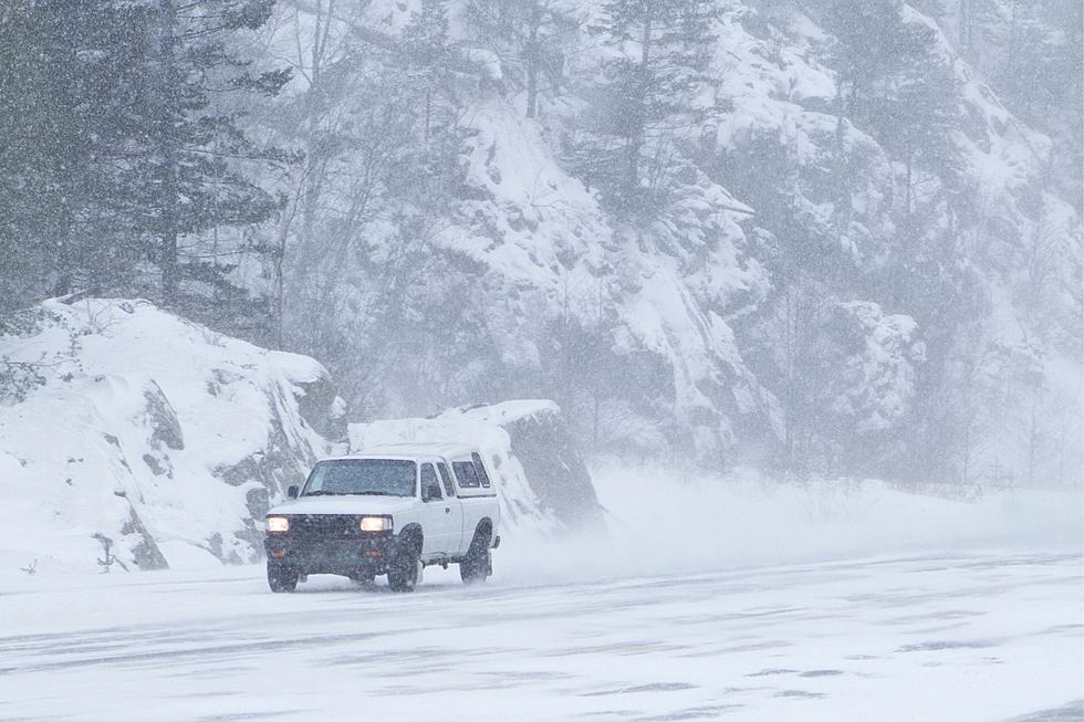
Motorists should plan to encounter slippery roads. The hazardous conditions could impact your Thursday evening commute.

Slow down, and plan for extra time to reach your destination safely.

The next system to bring mountain snow will arrive late Friday. Winter Storm Watches and Winter Advisories have been posted. Snow accumulations of 4-12" are expected with heaviest snow near the crest of the Cascades and the highest elevations of the Blue Mountains.
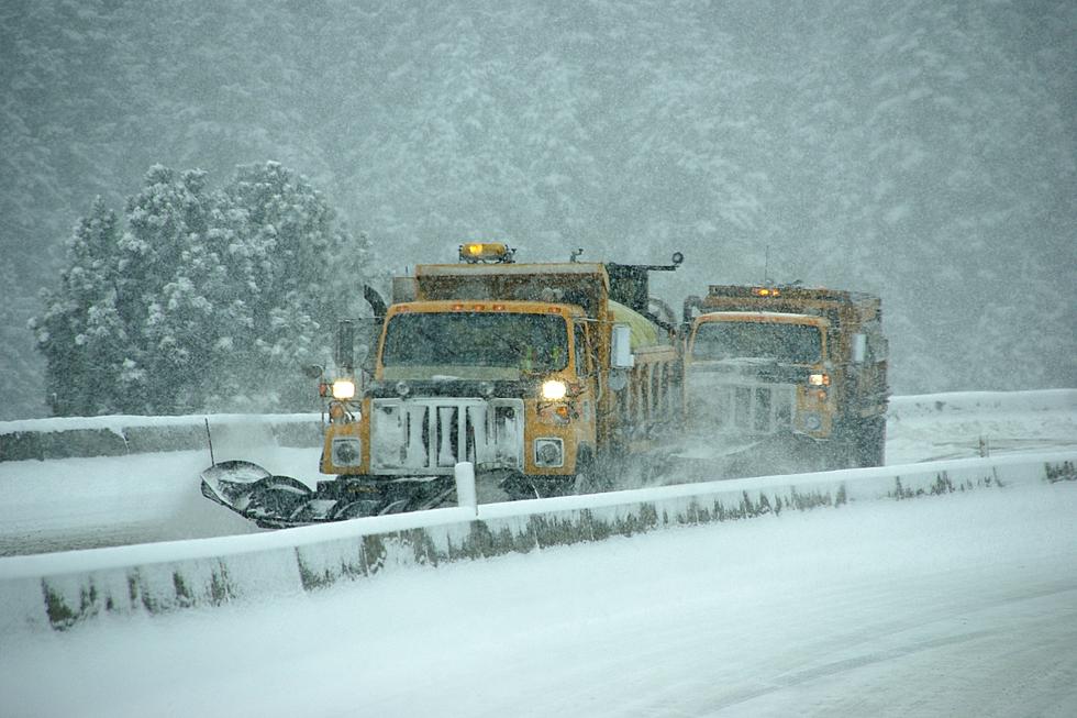
Exercise caution and allow plenty of distance between you and the vehicle ahead of you. Watch for snow plows and steer clear of them.
If that's not enough, a Winter Storm Watch goes into effect Saturday morning through Saturday evening for the South Central Oregon Cascades, the Siskiyou Mountains, Southern Oregon Cascades. This includes Willamette Pass, Diamond Lake, Crater Lake, Union Creek, Lake of the Woods, Siskiyou Summit. Affected highways include portions of routes 58, 230, 62, 140, 66, and Interstate 5. According to the NWS in Pendleton:
Total accumulations of 6 to 12 inches is possible.
Wind gusts of up to 35 mph are expected. Travel will be hazardous, with the heaviest snow to occur between 7 am and 2 pm on Saturday.

Drive Safe. Chains may be required Roads will be slippery.

The 8 Biggest Washington State Snowstorms
LOOK: The most expensive weather and climate disasters in recent decades
Gallery Credit: KATELYN LEBOFF
LOOK: The most extreme temperatures in the history of every state
Gallery Credit: Anuradha Varanasi
More From 98.3 KEYW