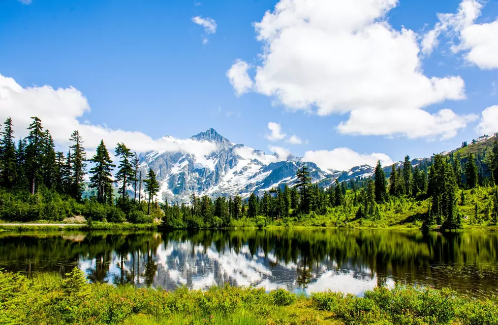
DNR Launches “Washington Rocks” Website Featuring 100 Landmarks
The Washington Department of Natural Resources is helping people to connect with the Evergreen State's geologic history.

A new website was launched recently, revealing stories, fun facts, and thousands of photos. The Washington 100 provides viewers with a thorough guide to explore 100 geological places up close and personal.
The site has graphics, videos, and maps for us to learn about well-known attractions including Mount Rainier and Palouse Falls.
There are 7 regions to choose from to learn more. You can select Columbia Basin, North Cascades, Okanogan, Olympic Peninsula, Puget Lowland, South Cascades, and Willapa Hills. Each card has many attractions to view and learn more about. Hopefully, it'll be a step closer to actually visiting the landmark.
The Washington Geological Survey is the group responsible for information on the site. According to their site:
The mission of WGS is to collect, develop, use, distribute, and preserve geologic information to promote the safety, health, and welfare of the citizens of Washington, protect the environment, and support its economy. Our work covers a variety of fields, ranging from geologic mapping to natural hazards to regulation of surface mines.
Washington State Parks also helped with the Washington 100 website. More than 30 of the sites featured are at or near state parks.
The goal of the Washington 100 is to:
Get you excited about the geology of Washington
Teach you about the geology of your favorite publicly accessible lands
Introduce you to new places to see great geology on publicly accessible lands
You can read more about the website here.
LOOK: Stunning vintage photos capture the beauty of America's national parks
LET'S GO: The most popular historic sites in America
More From 98.3 KEYW


