Winter Storm Watch Thru Friday 12″-24″ Possible Above 1500 Feet in Cascades
Haven't we had our fair share of winter?

We have, yet another winter storm watch in effect from Thursday evening into Friday afternoon. Heavy snow is possible., anywhere from 6 to 12 inches is predicted above 2000 feet. However, 12 to 24 inches could fall above 2500 feet. According to the National Weather Service:
* WHAT...Heavy snow possible above 2500 feet. Total snow
accumulations of 12 to 24 inches. Winds could gust as high as
40 mph.* WHERE...In Oregon, Northern Oregon Cascades and Cascades in
Lane County. In Washington, South Washington Cascades.* WHEN...From Thursday morning through Friday afternoon.
What does this mean for motorists?
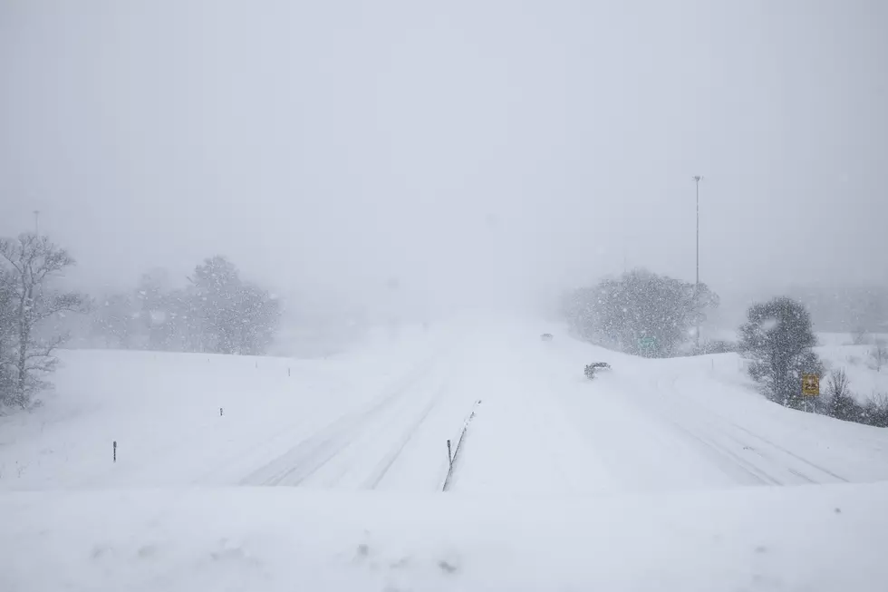
Travel will be very difficult, especially through the mountain overpasses. Snow is expected to be heavy at times, with heavy accumulation. It will be blustery with wind gusts of up to 40 mph.
Remember to check travel conditions with WSDOT and with ODOT. Drive for conditions, slower speeds, leave extra space between vehicles, and allow more time to stop.
If you're traveling behind a snowplow, slow down and give the plow extra room. You may want to review winter driving tips from WSDOT.
LOOK: The most expensive weather and climate disasters in recent decades
Gallery Credit: KATELYN LEBOFF
TIPS: Here's how you can prepare for power outages
LOOK: The most extreme temperatures in the history of every state
Gallery Credit: Anuradha Varanasi
More From 98.3 KEYW


