Road Closures & Chaos: Winter Storm Slams the Washington Cascades
Even with a full week of warning, one of the last few winter storms to hit Washington State still caused plenty of issues.

Snow, Hail, & Icy Roads After Winter Storm Hits Washington
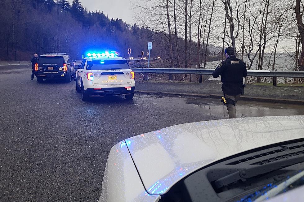
This morning, it was like drivers all over Washington State suddenly forgot how to drive in winter conditions. Did a few warmer weeks erase the winter-driving knowledge from our brains or was it really that slick? The weather forecast had called for a wintery mix and possible heavy snow in the upper elevations of Washington and drivers struggled when it finally hit early Monday morning. WSDOT Traffic posted about a serious crash where an SUV completely missed the onramp corner. You can see from the skid marks in the snow where it slid across the merge divide, across two lanes of traffic, and head on into the barrier divide. A short video from the crash is posted below.
The National Weather Service Warns to Slow Down for Conditions
These few storm systems hitting Washington State this week are expected to bring moderate to heavy snowfall in the Cascade mountains and a possible wintery mix to lower elevations. In a warning posted by the National Weather Service for the Seattle area, they warn to: slow down (especially around curves and overpasses), slowly brake and accelerate, turn your cruise control off, and keep a full gas tank if possible.
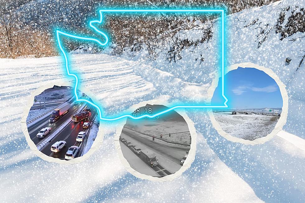
Washington Storm Closes Multiple Roads
The Washington State Department of Transportation and the Washington State Patrol had to close multiple roads because of crashes and spinouts from the icy conditions. Both the eastbound and westbound lanes of SR-18 were closed between I-90 and Hobart Road SE near Issaquah on Monday evening as the storm first hit. Around 5:30 pm Troopers closed the section of road until around 3 hours later. Around the same time, Snoqualmie Pass was also closed because of spinouts and accidents. Eastbound I-90 opened nearly 3 hours later with the westbound lanes closed from Ellensburg until almost 10 pm Monday. Snoqualmie Pass has closed and opened a few more times since that point.
Winter Conditions Are Expected to Continue in the Washington Mountains
Looking at the forecast for Snoqualmie Pass over the next few days, expect heavy snow, blizzard-like conditions, and traffic slowdowns or closures. The forecast calls for a possible 6-10 inches today, 9-13 inches of new snow Tuesday night, 9-15 inches of snow on Wednesday, and 10-16 inches on Thursday. Friday we finally get a break with only 2-4 inches expected. The west coast of Washington State will also get wintery mixx conditions with thick hail and slushy conditions. You can check all current pass conditions and also a 7-day detailed weather outlook by clicking here for the official WSDOT Washington State Pass & Winter Travel page.
Washington State Snow Forecast 2/25-3/01/2024
Washington Snow Forecast: February-March
More From 98.3 KEYW